.
NORTH CAROLINA WATERFALLS
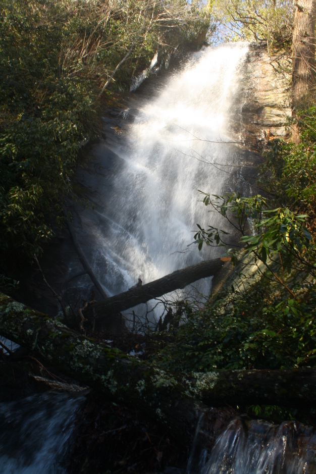
WATERFALL ON LAUREL FORK (5)

PHOTO
BY: CHRISTIE W.
Driving Directions: From the junction of U.S. 64, U.S. 276, and N.C 280, drive north on U.S. 276 for 5.1 miles to F.R. 475 on the left. Turn left and continue 5.8 miles to the bridge over Laurel Fork. Park on the left on the other side of the bridge.
Hiking Directions: On the right before the bridge, an obvious trail heads upstream. Follow the trail upstream for 0.50 mile to a creek crossing of the Tributary of Laurel Fork. Cross the Tributary of Laurel Fork and turn left following the path that follows Laurel Fork upstream. It is a steep journey that becomes even more difficult to traverse the closer you get to the falls.