.
NORTH CAROLINA WATERFALLS
TWIN FALLS (3)
HENRY BRANCH & UNNAMED TRIBUTARY
HENRY BRANCH & UNNAMED TRIBUTARY
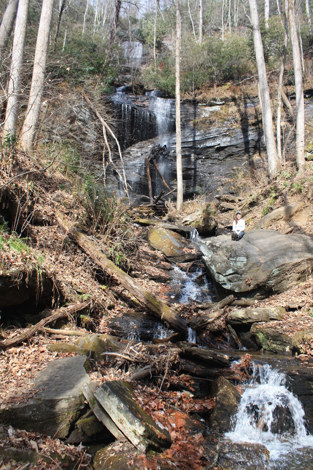
Waterfall on Henry Branch
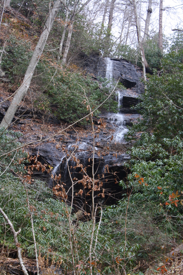
Waterfall on Unnamed Tributary
PHOTOS BY CHRISTIE W.
Driving Directions: From the intersection of U.S. 276, U.S. 64, and N.C. 280 in Brevard, drive 2.2 miles to F.R. 477 on the right. Turn right onto F.R. 477 and continue 2.5 miles to a small pullout on the right directly before a power line crossing.
Hiking Directions: Hike down the orange blazed Buckhorn Gap Trail to a branch crossing in 0.27 mile. Shortly after this, an old logging road swings left. Stay straight and continue 0.17 mile to a view of the waterfall on Avery Creek on the right. You may choose to follow the scramble path to the base of the falls. However, if you choose to return via the loop hike I describe, a much easier trail leads to the base of the falls on the other side of the creek. At 0.67 mile, reach the junction with the blue blazed Avery Creek Trail on the right. Turn right onto the Avery Creek trail and continue a short distance to where both the blue blazed Avery Creek Trail and the orange blazed Buckhorn Gap Trail turn left and head upstream, while a horse trail continues straight and crosses the creek. Continue on the Avery Creek Trail and Buckhorn Gap Trail to where it reaches the creek at a log with a cut-out for foot traffic. Cross the log and turn left. Continue on the trail to the junction of the Avery Creek Trail straight ahead and Buckhorn Gap Trail on the right. Turn right onto the orange blazed Buckhorn Gap Trail. In 0.73 mile from the trailhead, cross a foot log over Avery Creek and yet another foot log in 0.74 mile. On the other side of the creek, a horse trail comes in from the right. Turn left and head upstream. At 0.87 mile, cross over a large rock with a tree growing out of it and cross another foot log. At 0.92 mile, cross another foot log and continue to the left upstream, ascending a set of log steps. At 0.98 mile come to another creek crossing and the foot log on the right. At 1 mile, reach a T junction, with a horse trail coming in from the left. Turn right, crossing another foot log in 1.06 miles and another foot log to the left in 1.11 miles and another at 1.13 miles. Reach the junction with the Twin Falls trail on the left in 1.17 miles, which continues and crosses yet another foot log. Turn left onto the Twin Falls trail. At 1.19 miles from the trailhead, cross a small stream with a small waterfall upstream. Just beyond the crossing, a spur trail on the left leads to the base of the waterfall. At. 1.22 mile reach the Twin Falls, with the waterfall on Henry Branch on the left and the waterfall on an unnamed tributary to the right. Continue on the obvious trail to the base of both falls.
To return using the loop hike, follow the directions below. Otherwise, retrace your steps back to your vehicle. To continue on the loop hike, back track to the intersection of the Buckhorn Gap Trail and the Avery Creek Trail. In 0.46 mile from the Twin Falls, turn left onto the Avery Creek Trail. Continue 0.17 mile to the Waterfall on Avery Creek on the right. Continue on the Avery Creek Trail for 0.24 mile to the junction with the Clawhammer Cove Trail, which continues straight. Turn right and cross over Avery Creek on a foot log. At 1.06 miles from the Twin Falls, reach F.R. 477 and the signed trailhead for the start of the Avery Creek Trail. Turn right onto F.R. 477 and continue 0.22 mile back to your vehicle.
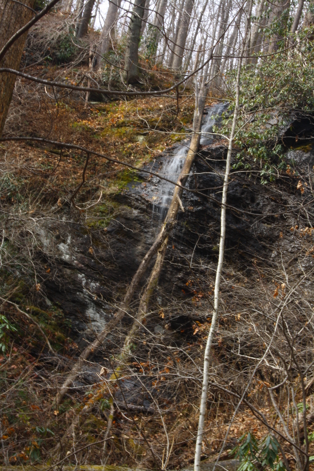
Waterfall Mentioned in the Hiking Directions